Welcome to CHQ Trails
Home of the Chautauqua County Interactive Trails Map

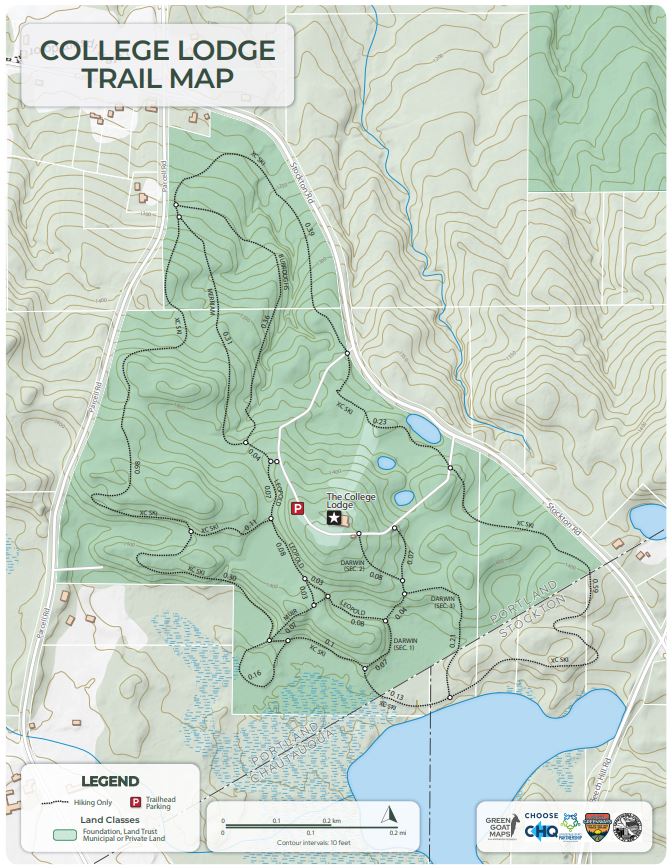
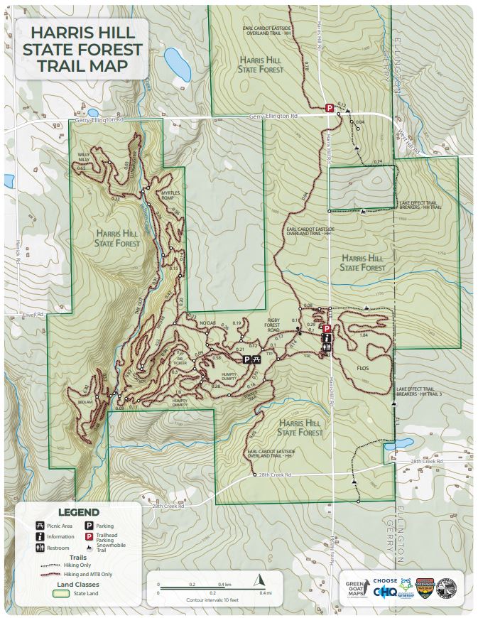
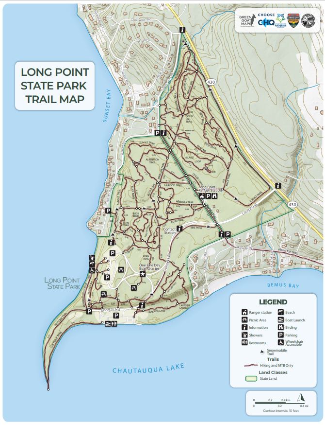
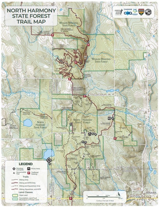
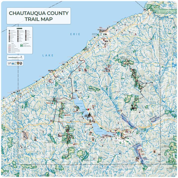
The Interactive Chautauqua County Trails Map (located below) lets users find accessible trails in all areas of the county for hiking, mountain biking, cross-country skiing, kayaking and rowing, horseback riding, and more!
Note: The Interactive Trails Map is best viewed on desktop, laptop, or tablet devices.
- When out on the trails, use the Avenza Map Application (Available for free on IOS and Android) to find individual trail maps and track your location, even in areas with weak/no cell reception.
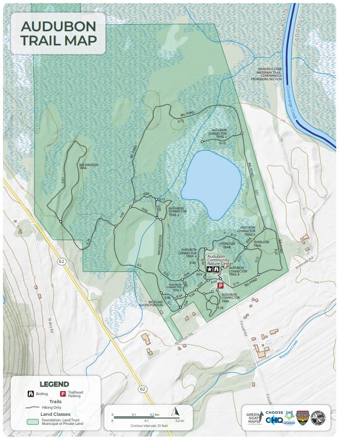
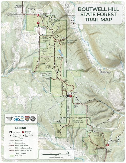
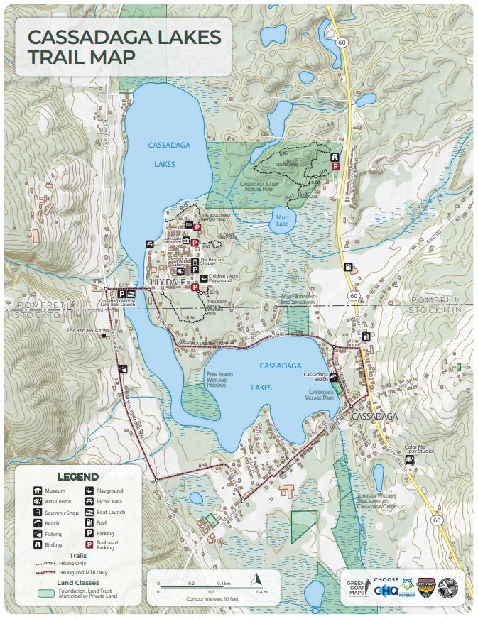
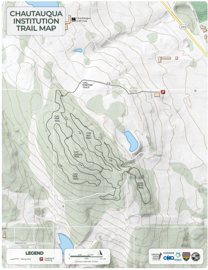
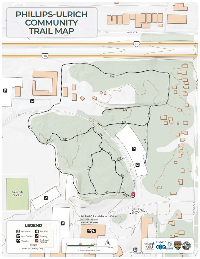
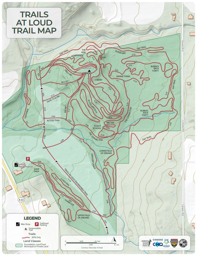
- Find Downloadable and Printable Trail Maps Here
- Find Snowmobile Trail Map Here
Interactive Chautauqua County Trails Map
Downloadable Trail Maps (High Resolution PDFs)

